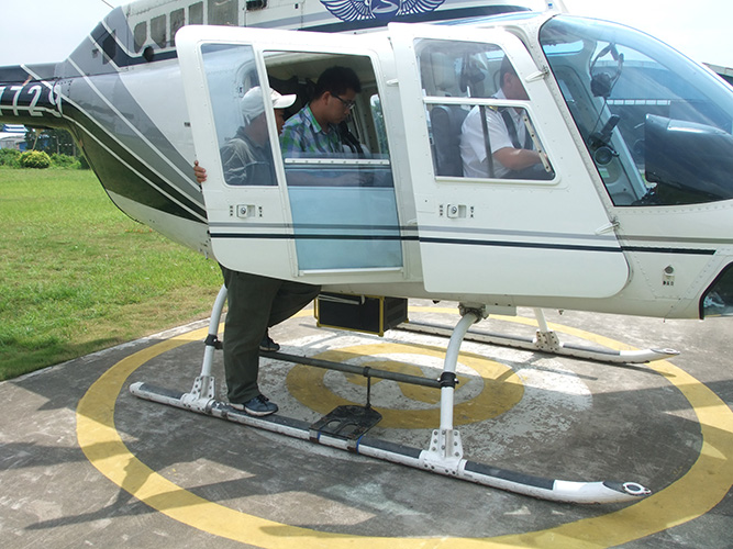
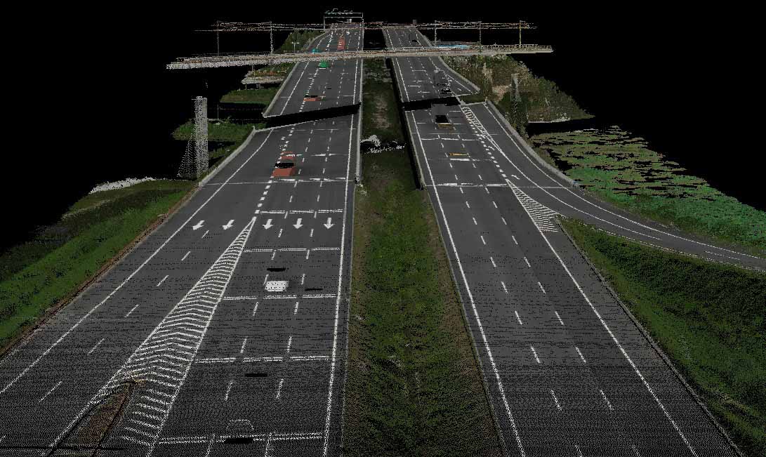
July 4 -8, 2013, We tested GL-300 on manned helicopter in Panyu, Guangdong province, China. We designed a special mount and installed GL-300 Lidar system on Bell 206. Test flights went well. Sample data on a highway, a high speed train station, mountains, rivers and powerlines were captured with our Lidar system; calibrated and checked. Results were extremely good and our customer was very satisfied.

GL300 is mounted and ready for takeoff
Laser data below is 100 pts/m attributed with RGB information. At this data density you can
clearly define even the fast train electrical conductors which are less than 1cm in diameter.

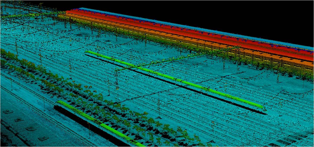
Below is a high speed railway station rendered by elevation. You can clearly see the vegation,
rails and powerlines. It would be very difficult to map this area using any other technology.

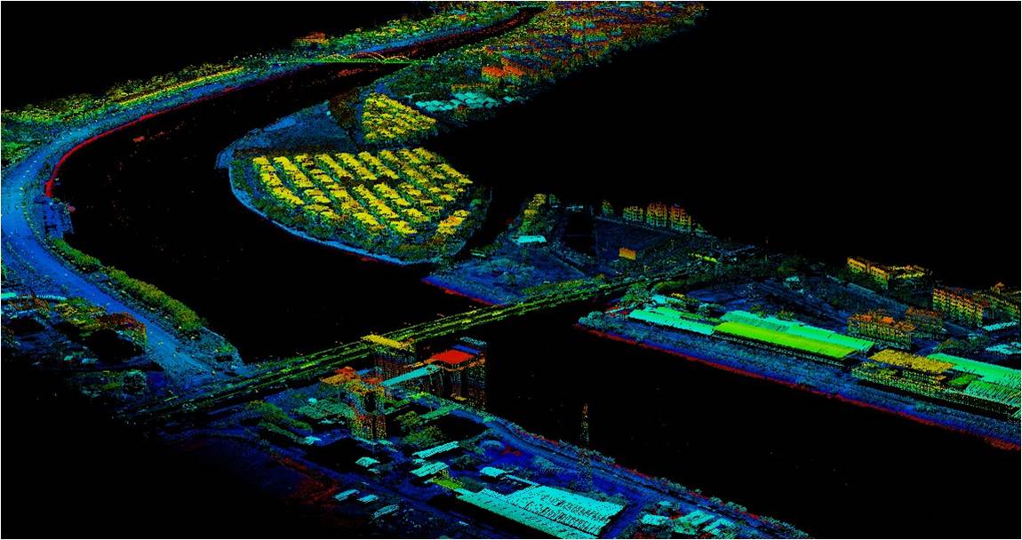
This laser data is rendered by elevation and provides an example of the type of data
required by the water conservancy engineers.
