April 2012, the very first UAV Lidar test was held in Weifang, Shandong Province, China. After thorough discussion and preparation with the help of the UAV helicopter company, we tested a series of functions of GL-300 Lidar system. The test was carried out with different flying height, flying speed with different Lidar system settings, to verify the system stability, performance and data accuracy. Testing result was excellent and all testing purpose was fulfilled.

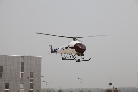
GL300 mounted on UAV helicopter

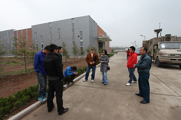
Our technical staff discussing flight tests with UAV crew
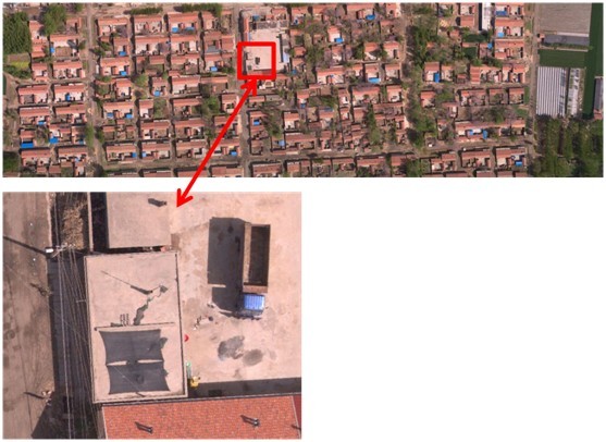
Image data at 5cm ground pixel resolution

Here we can see an enlarged view of the quality of the image data from the enlarged figure
we can clearly see the civilian 220V household power lines, scattered white stones
on the road, as well as roof tiles texture.

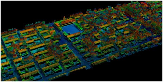
The laser point cloud flight tests was below the absolute level of accuracy better than 10cm,
height accuracy of better than 5cm, point cloud density of more than 25 points / sqm.
