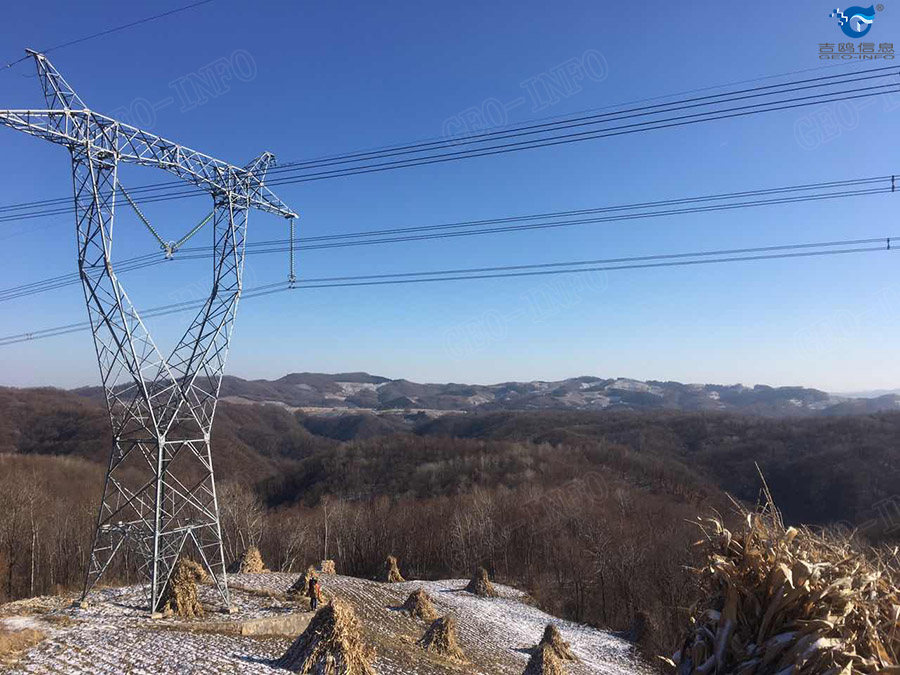
Using manpower for visual inspection of powerline corridors has been internationally proven to be ineffective and inaccurate. It is a requirement in the USA, for example, that all powerlines are mapped by Lidar methods every year. Combined with UAVs, Lidar can be a great affordable choice for corridor inspection and danger tree analysis. This case study tells how a GLV Lidar with a DJI S-1000 acquires powerline conductor data and generates danger tree analysis report. It provides a new way to produce rapid and accurate danger tree analysis for power conductors and corridors.
1、Project requirement:
Acquire 3D conductors data of a 500KV powerline with GLV and multi-copter and create danger tree analysis report.
2、System preparation:
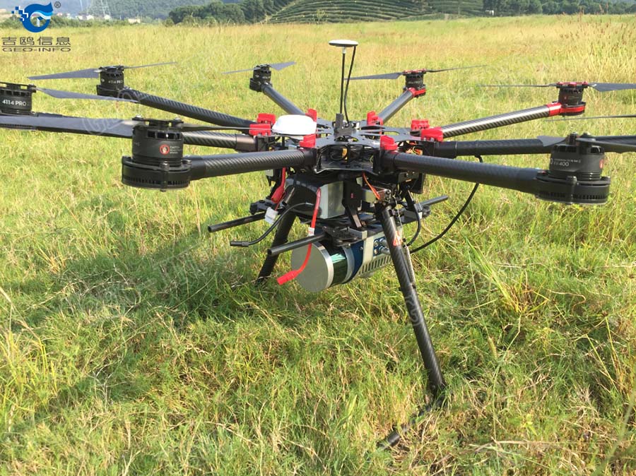
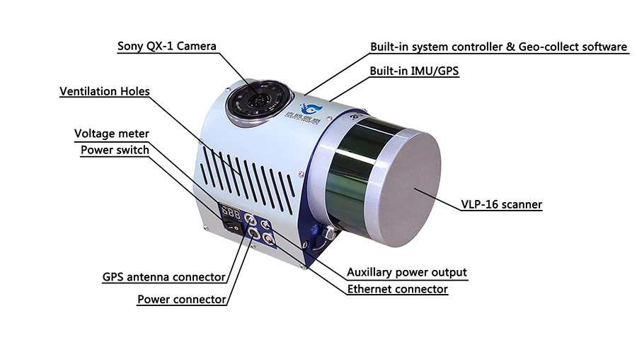
We prepared GLV UAV Ldiar with DJI S-1000 to map this project. Both transportation and installation are easy.
3、Project conditions, flight line design and flying:
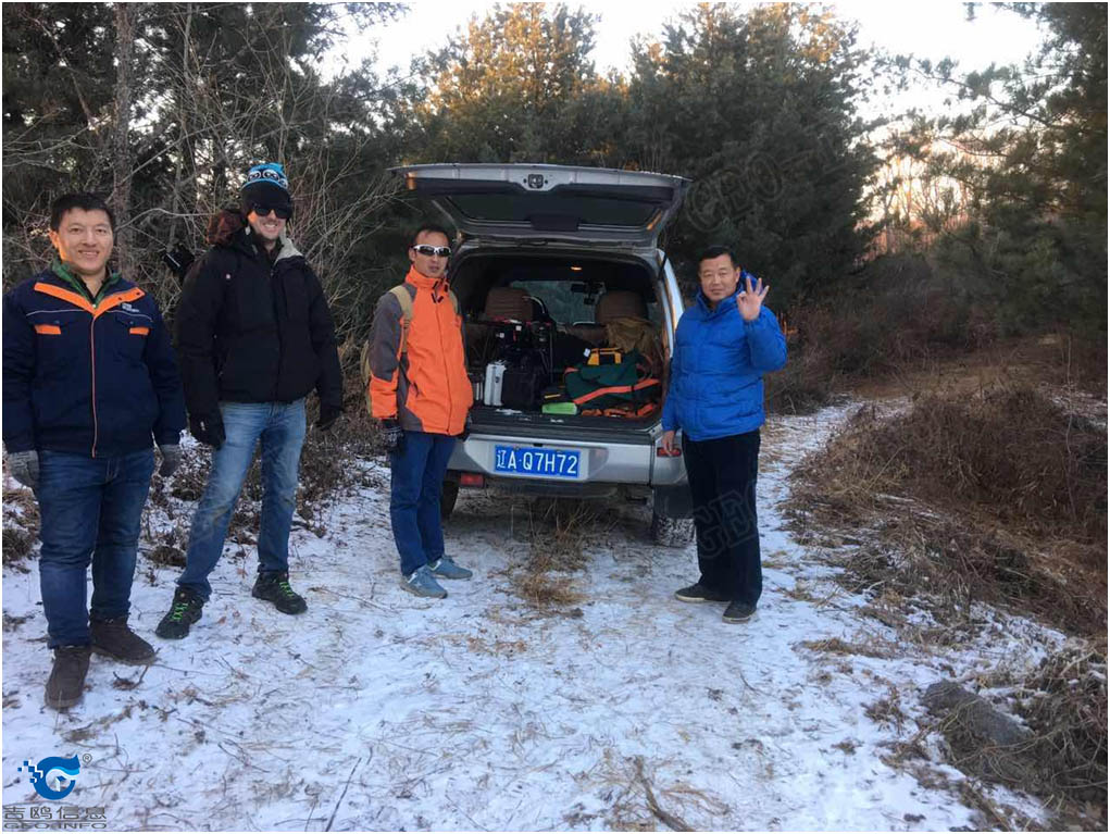
Due to winter season, the project site was cold, with -2°C temperature and 5 m/c wind. Despite the mountainous terrain with extremely limited taking-off and landing areas, the Geo-info flying crew made an executable plan and captured laser data for the target power corridor.
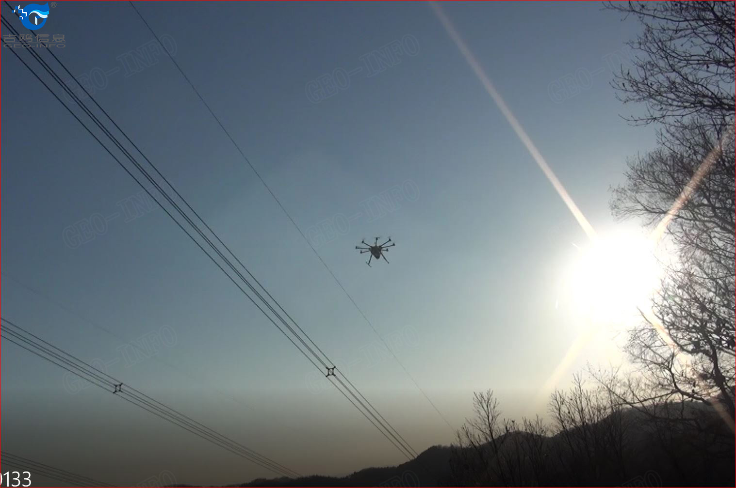
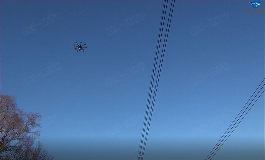
4、Data processing and danger tree analysis report:
After data acquisition, laser point clouds were quickly generated using Geo-LAS software.
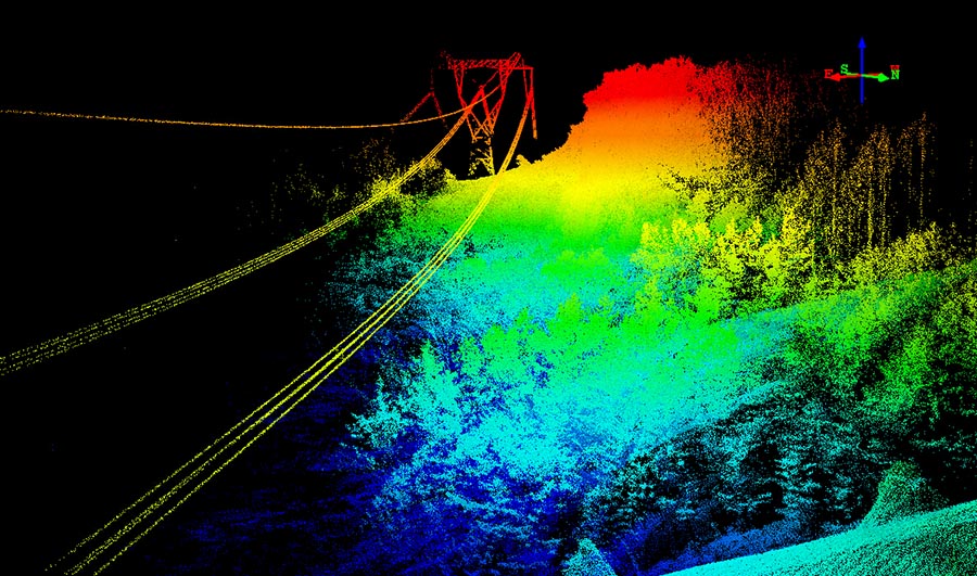
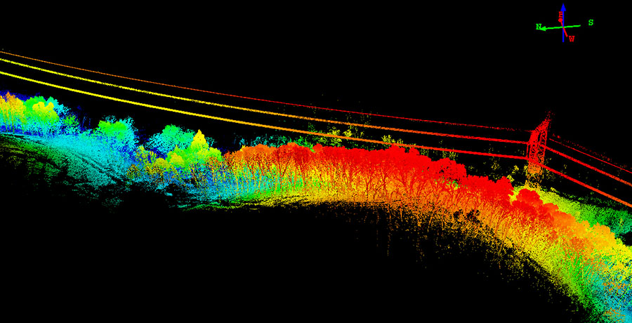
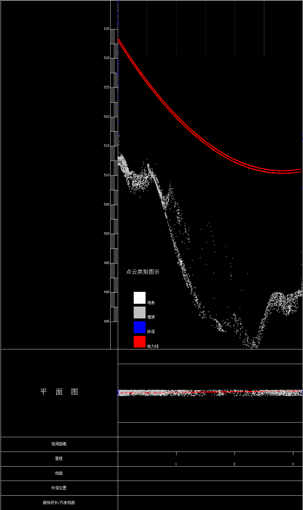
Calibrated laser point clouds were further processed with analysis software to create the danger tree analysis. From the report shown below, we can see there were 4 danger tree points for these target conductors, exact coordinates and obstruction type of these 4 danger points are listed with a profile shown below.

5、 Conclusion:
GLV UAV Lidar is an affordable and easy to operate tool to acquire 3D data of powerline corridors and conductors. Accurate coordinates of the danger trees and distance between the conductors and those danger tree points are generated automatically with Geo-info’s application software and further actions can be taken to take care of the danger tree points. We are currently researching higher payload platforms to increase our flight time and bring our efficiency to an even higher level.

