Nov 20, 2013, We did a demo for customer in Wuhan converting GL-200 air-borne Lidar into a Mobile Lidar mapping system. We made a easy and simple mount on top of a van at customer site and acquired some data. Result data was accepted by the customer.
Our product can be easily applied to any moving platform after minor adjustment, due to its features. Manned helicopter, UAV, cars and boats or even a moving truck can be used as platform to perform data acquisition using our Lidar system.
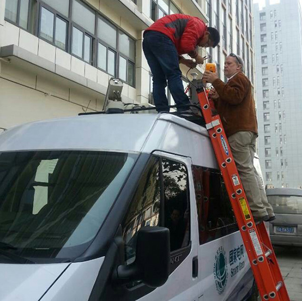
GL200 being installed on the roof of the van
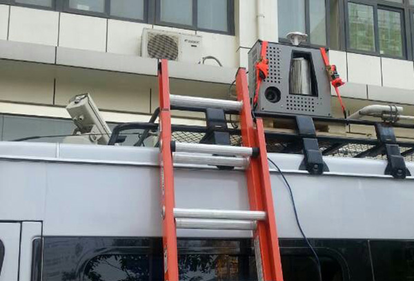
GL200 ready to go !
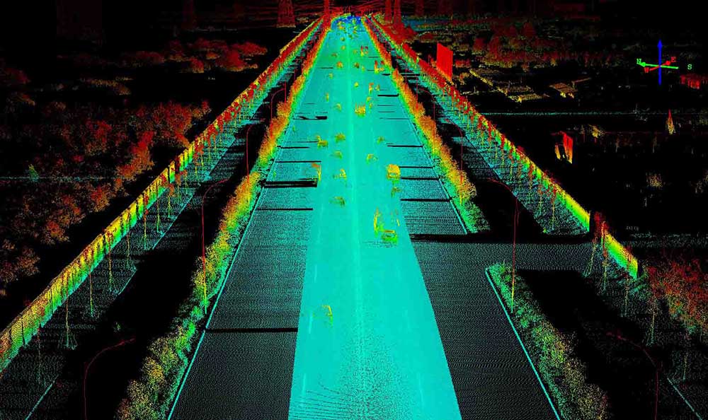
Car Data
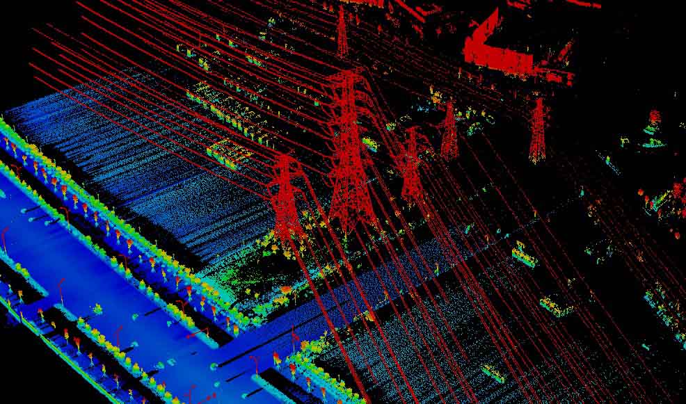
Transmission tower details
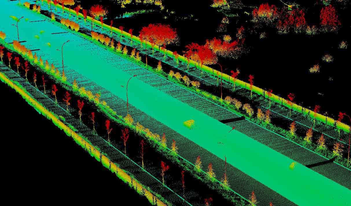
Data details