Feb 2013, we finished the powerline routing project in Henan province for Chinese National Power Grid using UAV Lidar. We integrated our GL-300 on a UAV helicopter and flew 40km. Result data in high accuracy area which flown @200m was 30pts/m2 point density and 5cm image ground resolution. And the rest of the area was flown @500m with result data of 10 pts/m2 and 10cm image resolution, both passed the customer check and claimed success.
After data collection is complete, we selected a number of verification points evenly distributed in the survey area, the use of multiple dual-frequency GPS survey area control points and observation linking static measurements, coordinate the exact coordinates will be with us to get the laser data strict comparison, the fact that the laser elevation data accuracy and precision of the levels obtained are better than 10cm, the project results to be sure.
In addition, we integrated camera equipment brought a rigorous field calibration laboratory calibration and our country flight calibration calibration designed to obtain precise camera parameters, the relative position of strict parameters of the camera lens projection center and POS Navigation Center , and then the results of the direct use of high-precision POS data is converted to an image of the exterior orientation elements monolithic orthorectified will be automatically corrected monolithic stitching, the results will be obtained directly DOM, DOM makes post-processing and truly do not need a control point , three short process without thereby saving a lot of post-processing of the workload.
As the first real UAV LiDAR project, we adopted a strict approach to verify the quality and accuracy of our integrated devices, but also the first time the UAV LiDAR technology from theoretical and experimental stage to promote a big step forward so successfully applied to engineering practice projects.

Flight line design

GL300 aboard V-750 UAV
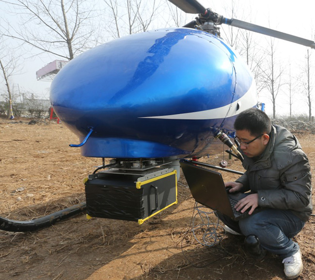
Downloading data through a network cable. (Due to very low morning temperatures we
had to tape over the airducts in the front of the system !)
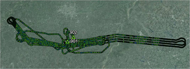
Actual flightlines and photocenters

Mosaic of all DOM's

Project area point cloud rendered by elevation
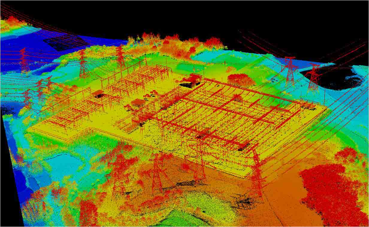
Electrical power transmission substation rendered by elevation
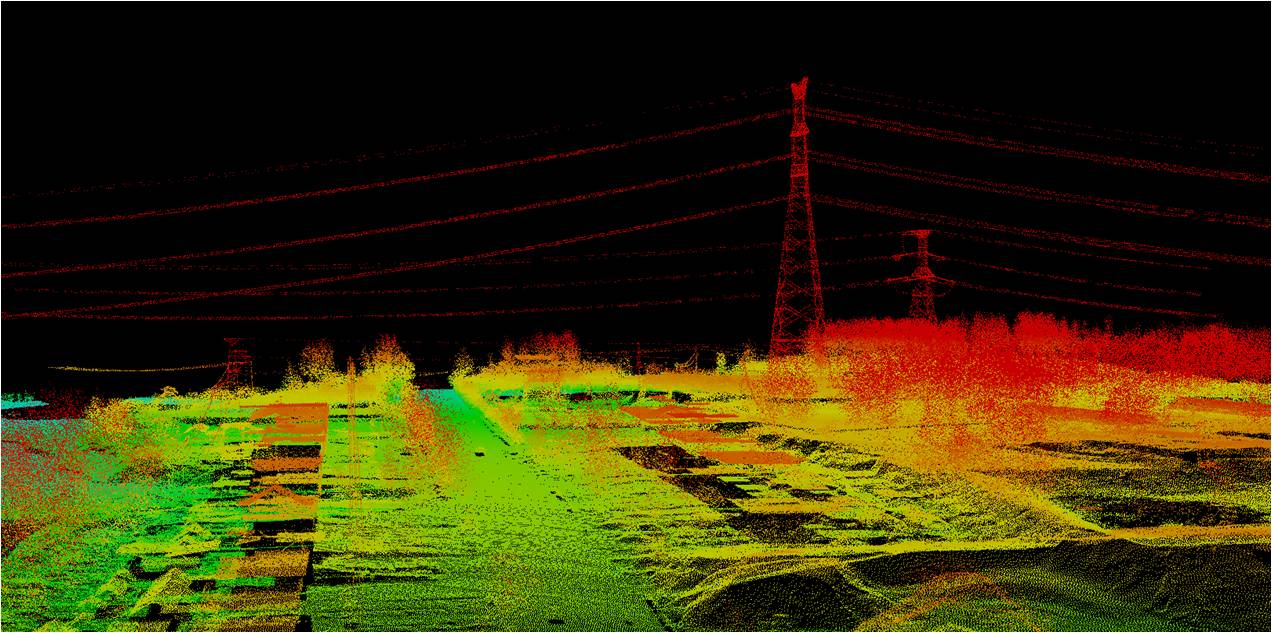
Example point cloud of transmission towers and conductors
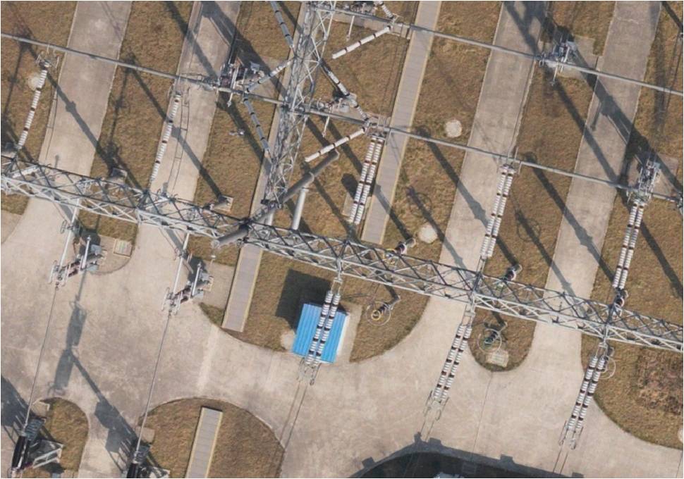
View of orthophoto at a substation
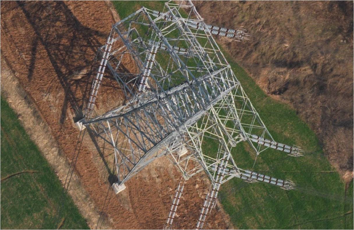
Image data of a transmission tower ... insulators and connection points are well defined.
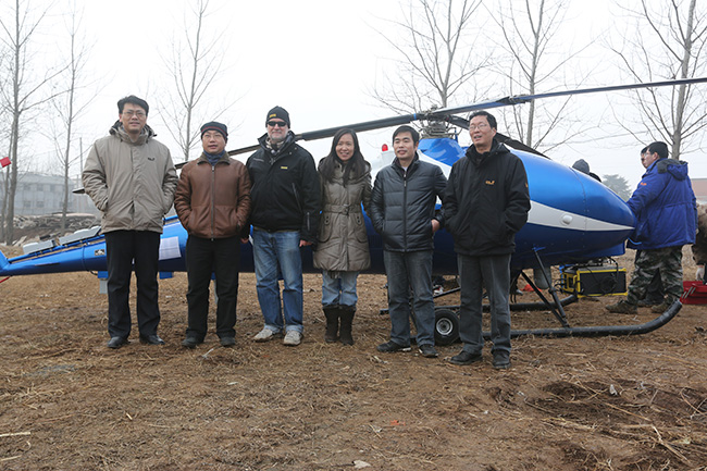
Customer photo after acquistion