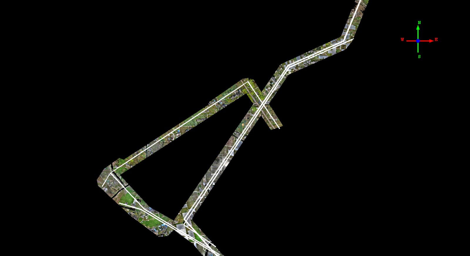
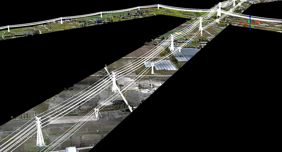
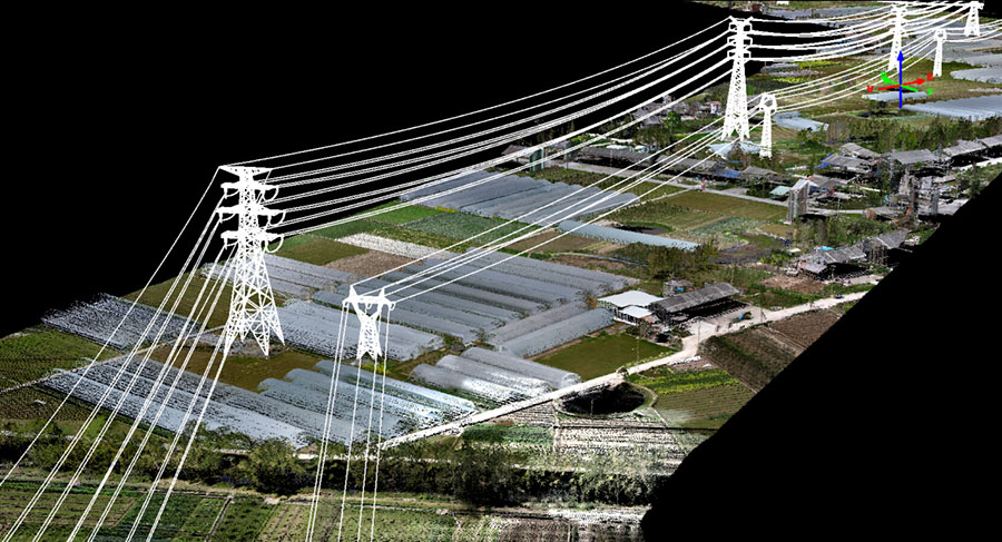
March 23-27 2015 Geo-Info Technologies GUL-70 successfully mapped 30km of powerlines in Zhejiang province, China. Led by our CTO, Bob Kletzli, along with expert assistance from our UAV partner, SwissDrones Operating AG, our project was designed, planned and executed without flaw. GUL-70 is comprised of our GL-70; a 12kg UAV lidar system, integrated with a SwissDrones Dragon 35 UAV helicopter. Initial flight testing was performed at our facility near Beijing where vibration mounts, power supplies, datalinks and calibration were all verified prior to the project. GUL-70 and all associated gear was transported to the project site in one small van.
GUL-70 weighs a total of 64kg when flight ready and is 1.8m long. Transportation between landing sites is quick and easy using the van and cycle time between flights is about 20 minutes. The ground control station is also transported in the van and controls both the UAV and the laser system at a range up to 10km. Our GL-70 lidar system is based on the famous Riegl VUX-1, which operates at 550khz and provides a 330 degree field of view, resulting in excellent coverage and data density for corridor projects.
The Dragon 35 UAV helicopter is capable of a maximum takeoff weight of 70kg and has a flight time of up to one hour. Auto-takeoff, waypoint navigation and auto-landing are standard features. Onboard sensor information including; engine temperature, throttle level, remaining fuel, rotor rpm, GPS position and orientation are downlinked to the ground control station. The ground control crew may hold or interrupt the flight mission at any time and land the helicopter.
To our knowledge, GUL-70 has now completed the largest powerline mapping project ever accomplished with a UAV based Lidar System. The final data is spectacular with a laser point density of up to 100 pts/m2 and an image ground resolution of better than 5cm.
Special thanks to the SwissDrones Team for their assistance! They can be found at :www.swissdrones.com
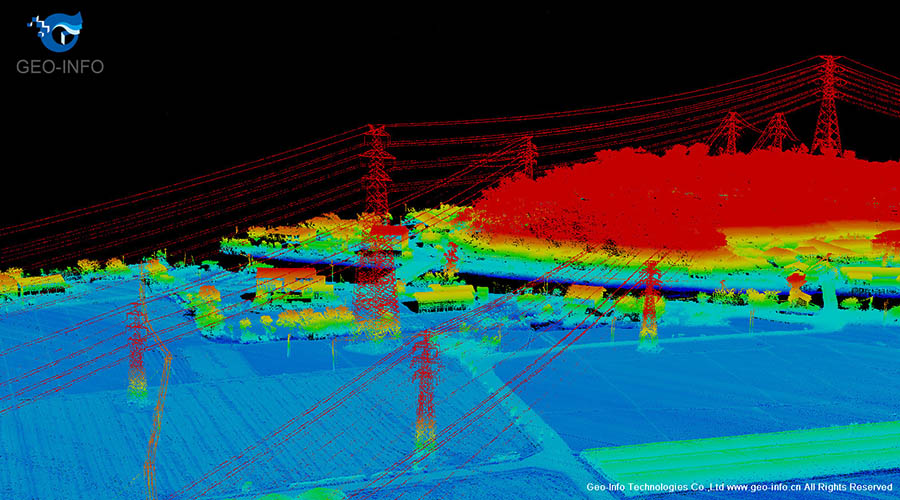
Laser point cloud data screenshots (Click on the picture to enlarge)
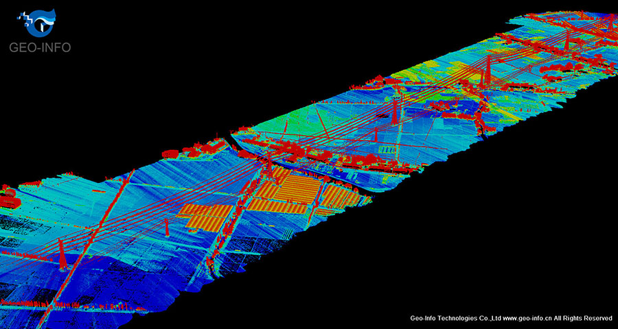
Laser point cloud data screenshots (Click on the picture to enlarge)
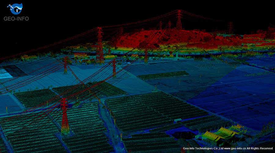
Laser point cloud data screenshots (Click on the picture to enlarge)
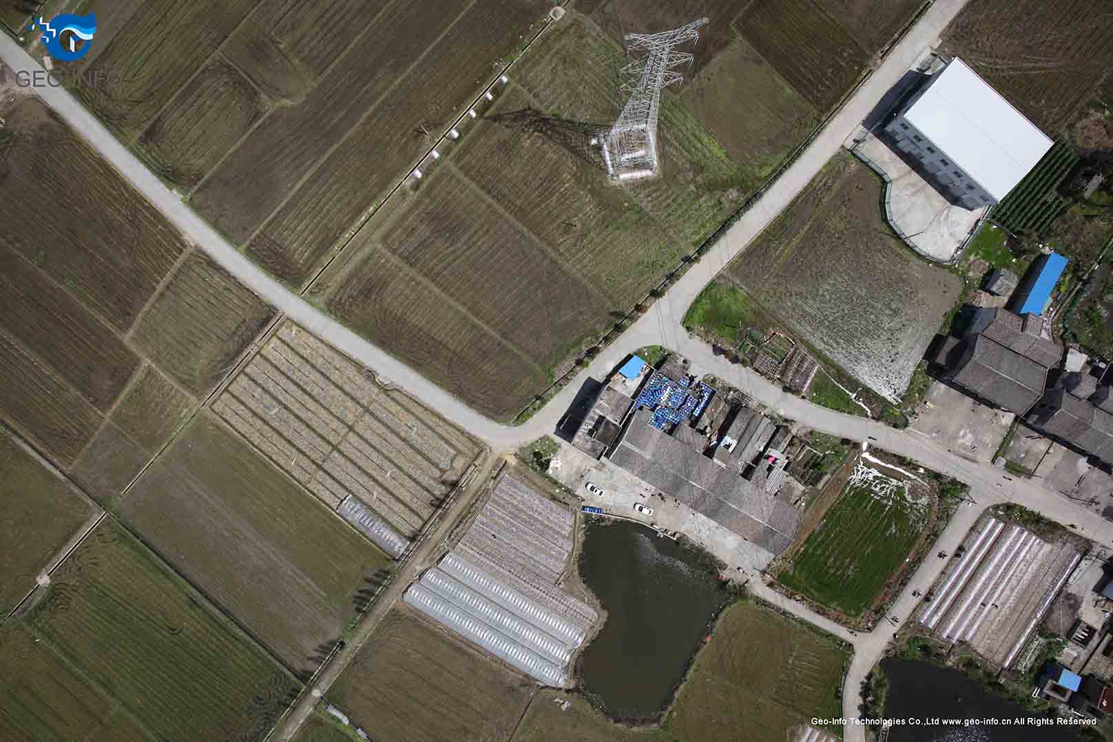
Raw Image (Click on the picture to enlarge)
